About Pier Improvement Programme


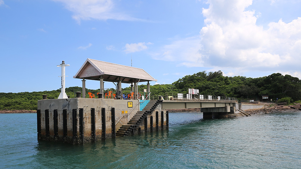
Tung Ping Chau Public Pier is situated at Tung Ping Chau Marine Park. Some of the lands in Tung Ping Chau are within the area of Plover Cove (Extension) Country Park, Site of Special Scientific Interest, and Hong Kong UNESCO Global Geopark.
Learn more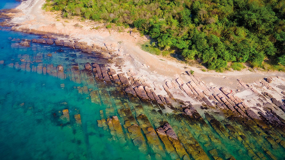
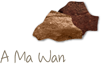
Upon arriving at Tung Ping Chau Public Pier, you can witness the unique landscape of A Ma Wan. The rocks at A Ma Wan are mostly fine-laminated sedimentary rocks, with a history of approximately 55 million years. Various types of white coral skeletons can be found in the coast waters of A Ma Wan.
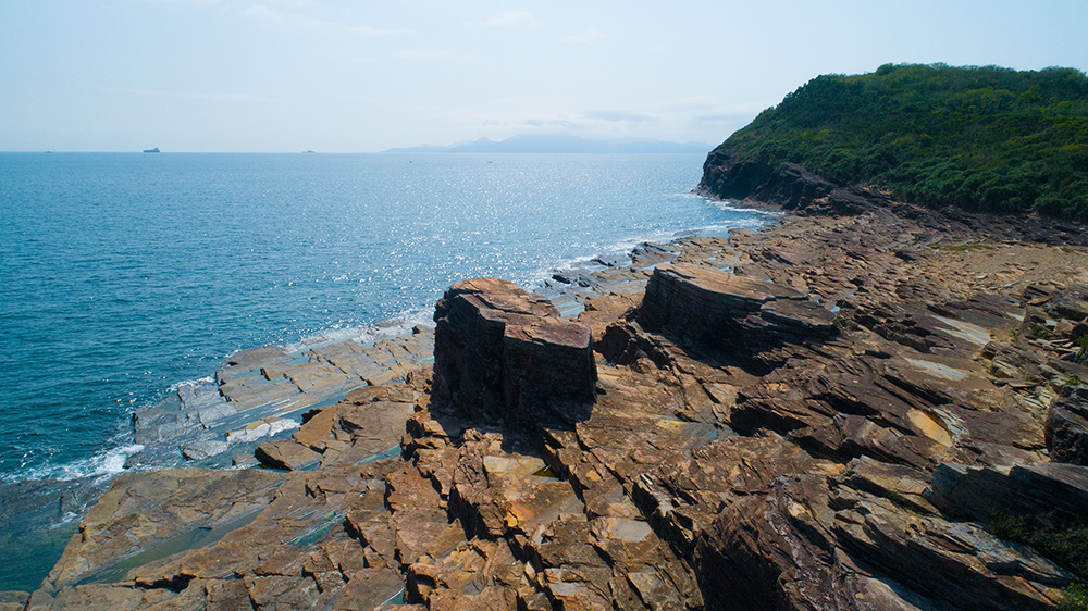
Walking to the most easterly point of the island, you can see Kang Lau Shek. A pair of two-storey rock towers facing each other stand upright in the sea, resembling two watchtowers protecting Tung Ping Chau.
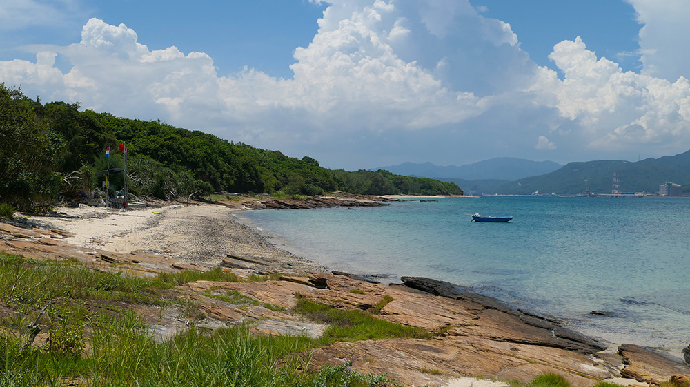
As you travel north from Tung Ping Chau Public Pier, the rocks give way to Cheung Sha Wan. It is a beach with an expanse of white sand, white chunks of washed-up corals, and the turquoise waters, making it the best place for snorkelling or diving.
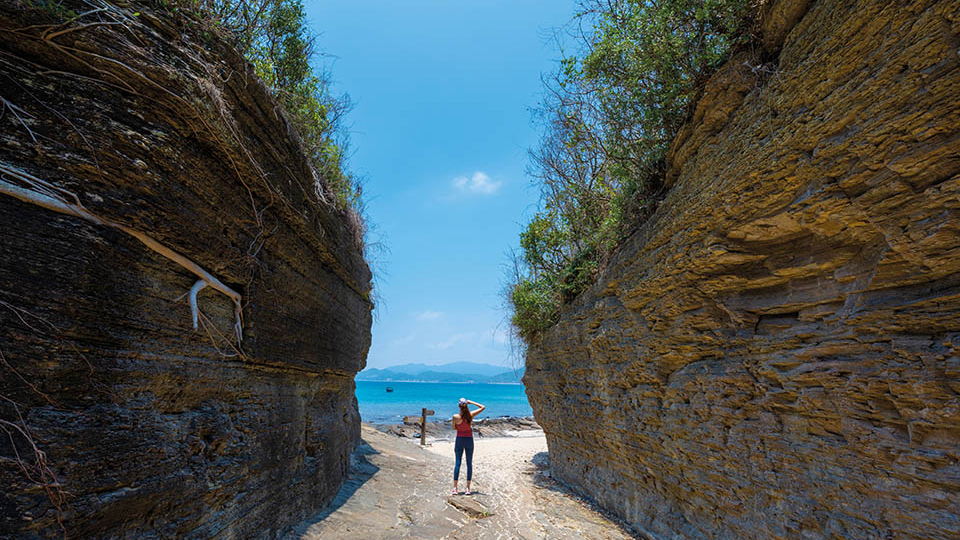
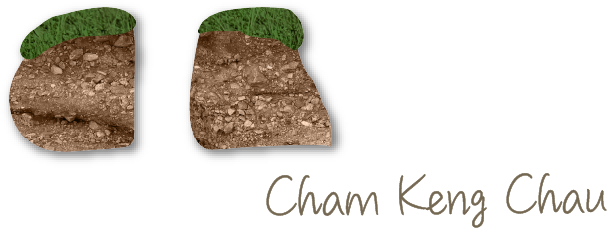
A short walk on a trail through a shoreline forest leads to Cham Keng Chau. Over the centuries, wind and waves widened and deepened a crack in the rock, leaving a small spur cut off by a narrow corridor.
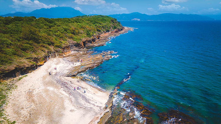
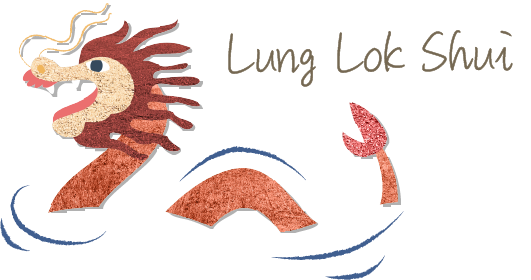
Lung Lok Shui is a zigzag layer of white siliceous rock which appears to be the backbone of a dragon diving into the water. The rocks have been precision cut in some near perfect rectangles and triangles and its form and colour change with different angles.
Take the kaito ferry service from Ma Liu Shui Ferry Pier to Tung Ping Chau Public Pier. Relevant information can be found on the Transport Department's website of Kaito Ferry Service Details.
Relevant information about public services can be found on the Food and Hygiene Department's website of Facility Locations.
Relevant information about weather can be found on the Hong Kong Observatory's website of Local Weather.
*Some information was extracted from the websites of Hong Kong Tourism Board and Hong Kong UNESCO Global Geopark
