About Pier Improvement Programme


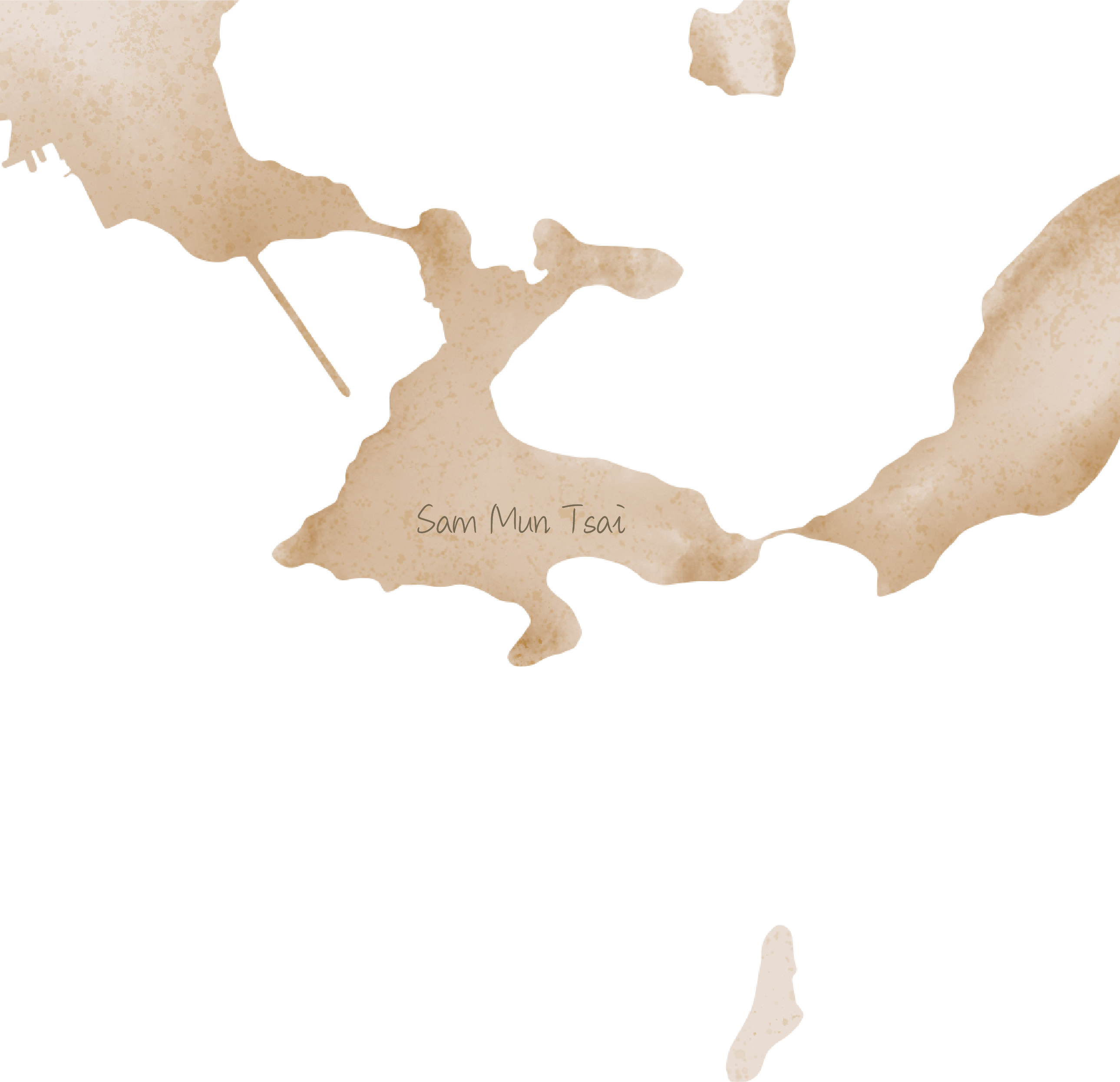
Sam Mun Tsai Village Pier, built in 1972, is situated within Shuen Wan Typhoon Shelter in Tai Po District, next to Yim Tin Tsai Fish Culture Zone. The pier is mainly used by local villagers, fishermen, and visitors to Ma Shi Chau Nature Trail.
Anticipated completion year: 2025
Learn more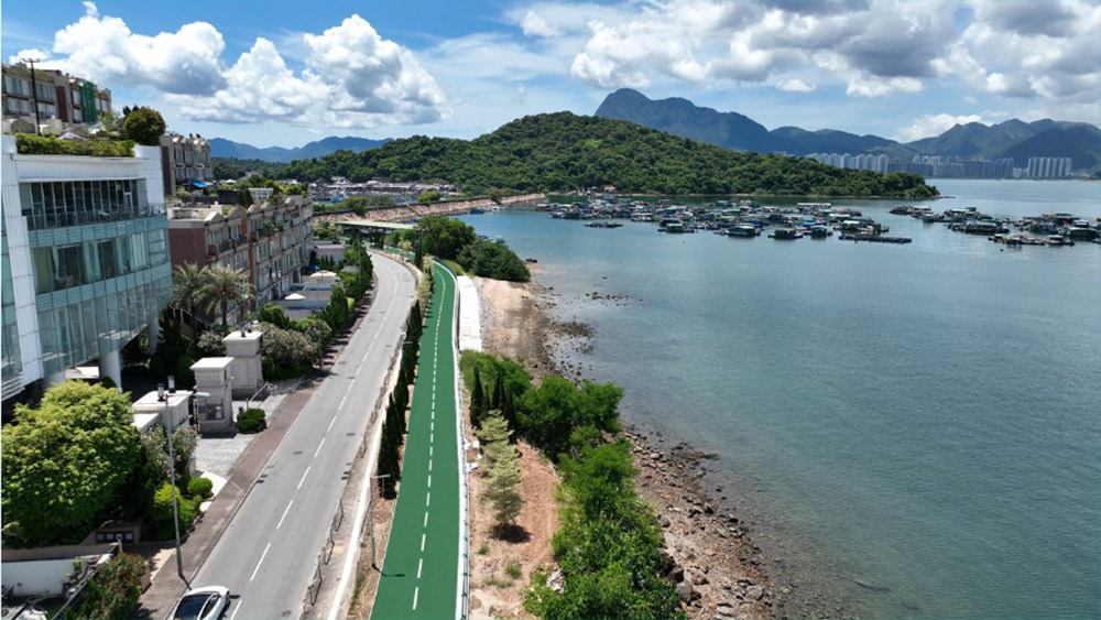
This 900-metre long cycle track is an extension of the Sheung Shui to University Station section of the New Territories Cycle Track Network. Running along Sam Mun Tsai Road from the junction with Ting Kok Road, it is surrounded by Pat Sin Leng, Plover Cove and Tolo Harbour. A resting station at the end of the cycle track provides ancillary facilities, including a toilet, water dispensers, sheltered benches and cycle parking spaces.
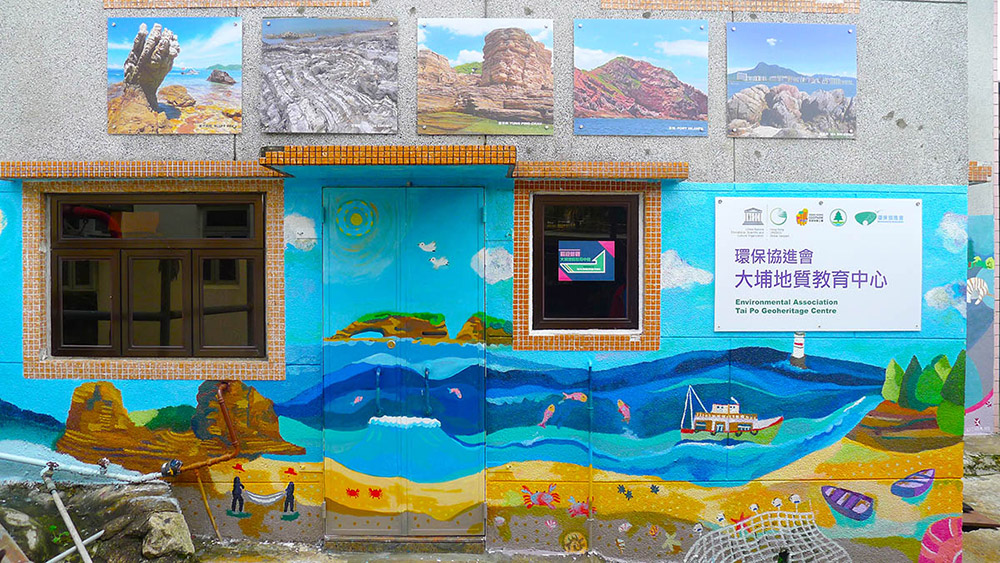
It is Hong Kong's first information and education centre with a geological park theme. Besides introducing the culture and lifestyle of the Sam Mun Tsai fishermen, the centre also showcases the ecology and geological features of the area, exhibits various village artefacts and rock specimens, and provides guided tours.
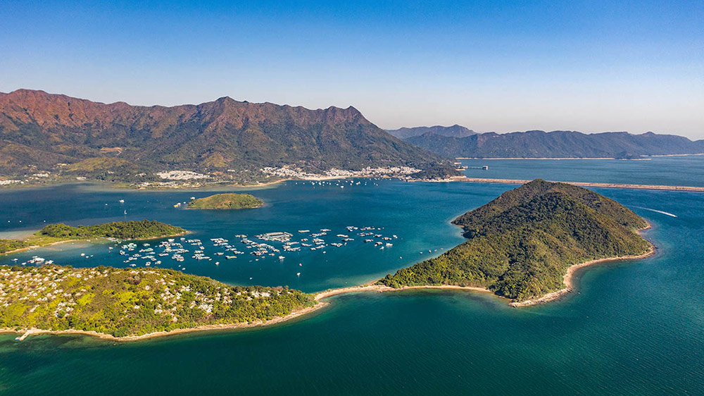
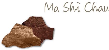
It is known as the “Outdoor Geological Museum” and is one of the geosites of the Northeast New Territories Sedimentary Rock Region of the Hong Kong UNESCO Global Geopark. The 1.5 km nature trail running along the southeastern shore features the sedimentary rock formations and various geological features on the island.
Take land transport to reach Sam Mun Tsai and walk to Sam Mun Tsai Village Pier. Relevant information can be found on the Transport Department's website of HKeMobility.
Relevant information about public services can be found on the Food and Hygiene Department's website of Facility Locations.
Relevant information about weather can be found on the Hong Kong Observatory's website of Local Weather.
*Some information was extracted from the websites of Hong Kong Tourism Board and Hong Kong UNESCO Global Geopark
